Volcanea Trails: a smarter way to plan hiking routes in Gran Canaria
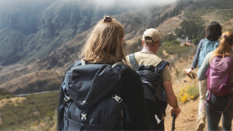
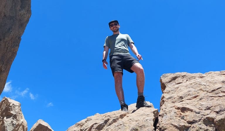
Gran Canaria is an island made for walking. From volcanic ridges and deep ravines to ancient paths, pine forests and coastal trails, every route reveals a different side of the island. But anyone who has hiked here knows that choosing the right trail is not only about distance.
That is why good planning matters.
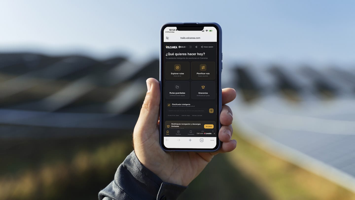
Volcanea Trails is a route-planning app designed for hikers and trail runners who want to explore Gran Canaria with more clarity and confidence. Unlike many hiking apps based mainly on user-uploaded GPS tracks, Volcanea Trails focuses on verified trail networks, helping users create routes that follow established paths rather than random or inconsistent tracks.
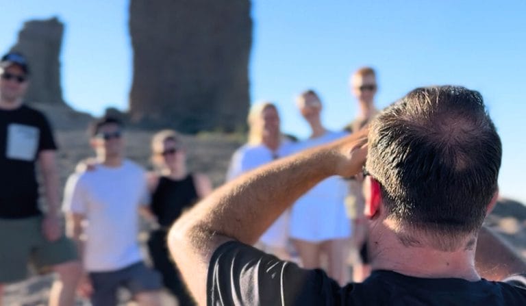
For those who enjoy discovering the island independently, it is a powerful tool. For those joining a guided experience with Climbo, it is also a reminder of something we believe deeply: the more you understand the terrain, the more meaningful your adventure becomes.
Why route planning is so important in Gran Canaria
Gran Canaria is often described as a “miniature continent”, and once you leave the coast, it is easy to see why. In a single day, you can move from dry volcanic landscapes to humid ravines, pine forests, high mountain viewpoints or ancient rural paths. This variety makes the island so special, but it also means that route planning should never be taken lightly.
A hike that looks short on a map can involve steep climbs, loose terrain or demanding descents. A circular route may cross remote areas with little shade or few water points. A trail that feels easy in winter may be much harder during warmer months.
Volcanea Trails helps hikers make better decisions before they start walking, offering useful information such as elevation profiles, ascent and descent, route structure and precise editing tools.
For Climbo, this kind of preparation fits perfectly with a responsible way of exploring the island: enjoying nature, while respecting its limits and understanding its conditions.
What makes Volcanea Trails different?
Most hiking apps are built around shared routes. That can be useful, but it also means that quality can vary a lot. Some tracks are accurate, while others may be outdated, incomplete or based on paths that are not suitable for everyone.
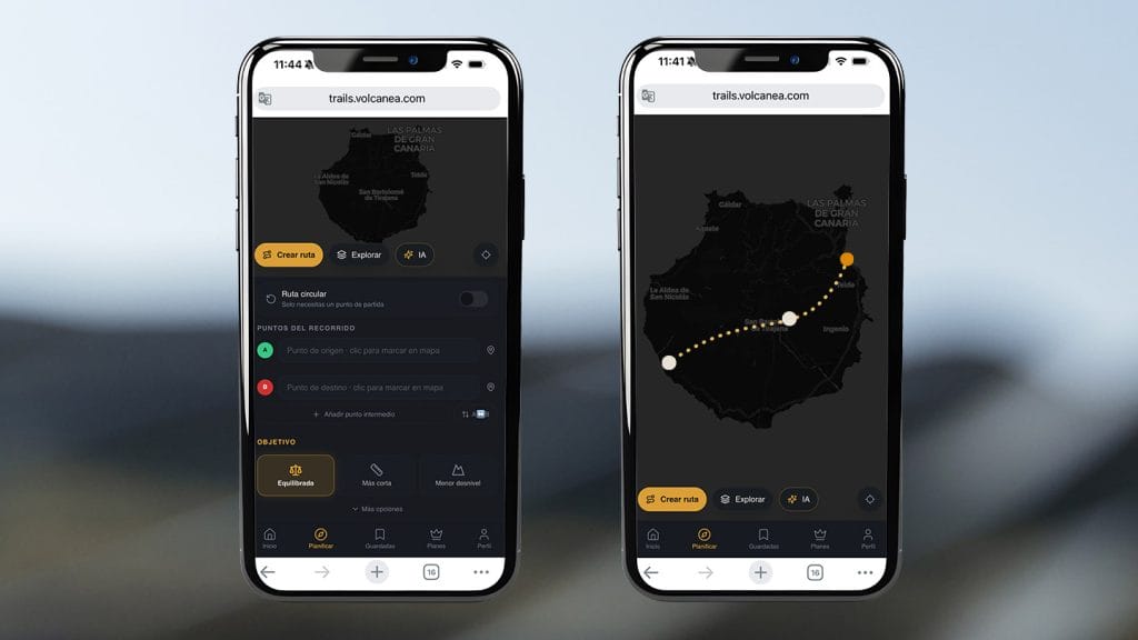
Volcanea Trails takes a more structured approach. Instead of simply choosing a route uploaded by another user, you can build your own route using verified trail networks. This gives you more control over your adventure. You can adapt the distance, check the elevation, understand the effort required and create a route that matches your level, goals and available time.
It is especially useful in Gran Canaria, where terrain changes quickly and where a well-planned route can make the difference between a great day outdoors and an unnecessarily difficult one.
A useful tool for hikers and trail runners
Volcanea Trails is not only for casual hikers. It is also a strong planning tool for trail runners, long-distance walkers and people preparing more demanding mountain routes.
Trail runners can design routes with specific elevation profiles, making it easier to plan training sessions based on climbs, descents and distance. Long-distance hikers can use the app to structure multi-stage routes or explore different combinations of official paths.
For visitors, it can help make sense of the island before arriving. For residents, it opens up new ways to connect known trails and discover different areas with more independence.
Key features for planning hiking routes in Gran Canaria
Volcanea Trails includes practical tools that make route planning clearer and more precise:
- Route creation based on verified trail networks
- Real-time elevation and slope information
- Precise route editing
- Total ascent and descent calculation
- Route saving and organisation
- Advanced planning tools for more complex routes
- Export options in the Pro version
These features are particularly valuable in Gran Canaria, where elevation gain often matters more than distance. A 6 km route in the mountains can be much more demanding than a longer coastal walk, and understanding that before starting is essential.
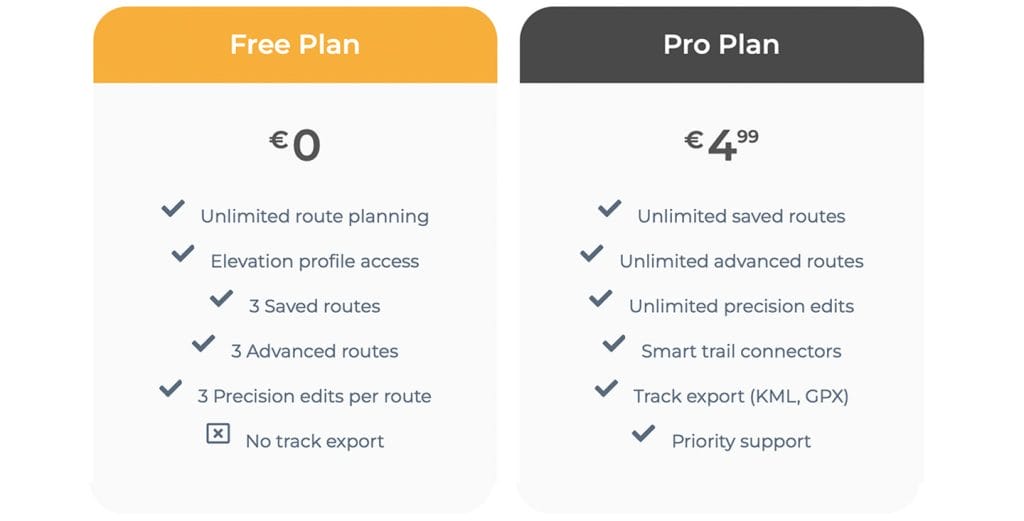
Free vs Pro: which version do you need?
The free version of Volcanea Trails allows you to explore the platform and start planning routes with its core tools. It is a good option if you want to test the app, create your first routes or get familiar with how the trail network works.
The Pro version offers users who need more flexibility. It includes more advanced route-saving options, greater editing capacity and export tools, which can be especially useful if you use GPS devices or other navigation apps during your hikes.
For regular hikers, trail runners or anyone preparing more ambitious routes in Gran Canaria, the Pro version can offer useful extra control.
Explore Gran Canaria with confidence
Volcanea Trails is one of the most interesting tools available for planning hiking routes in Gran Canaria. Its focus on verified trail networks, elevation data and route-building precision makes it especially useful for hikers and trail runners who want to explore the island with more independence.
Whether you are preparing your own adventure or looking for inspiration before joining a guided tour, it can help you understand the terrain before taking the first step.
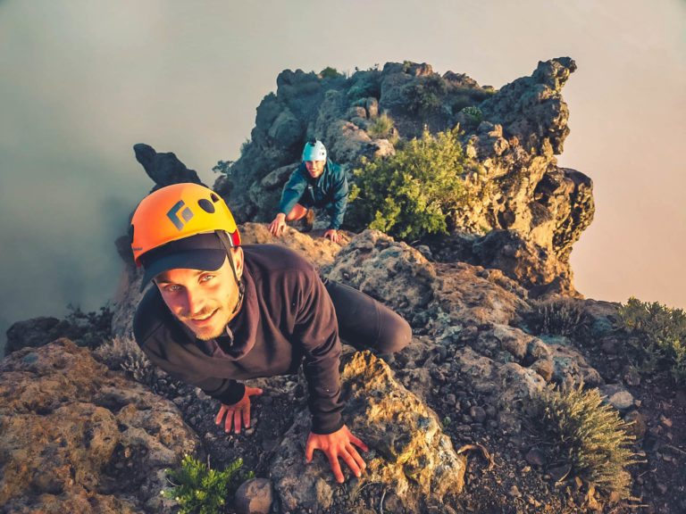
And when you are ready to go beyond the map, Climbo is here to show you the island through local knowledge, safe guidance and a deep respect for the landscapes that make Gran Canaria so unique.
Discover our guided hiking and nature tours in Gran Canaria and experience the island with Climbo.